Jordan Lake & Eno Crossings
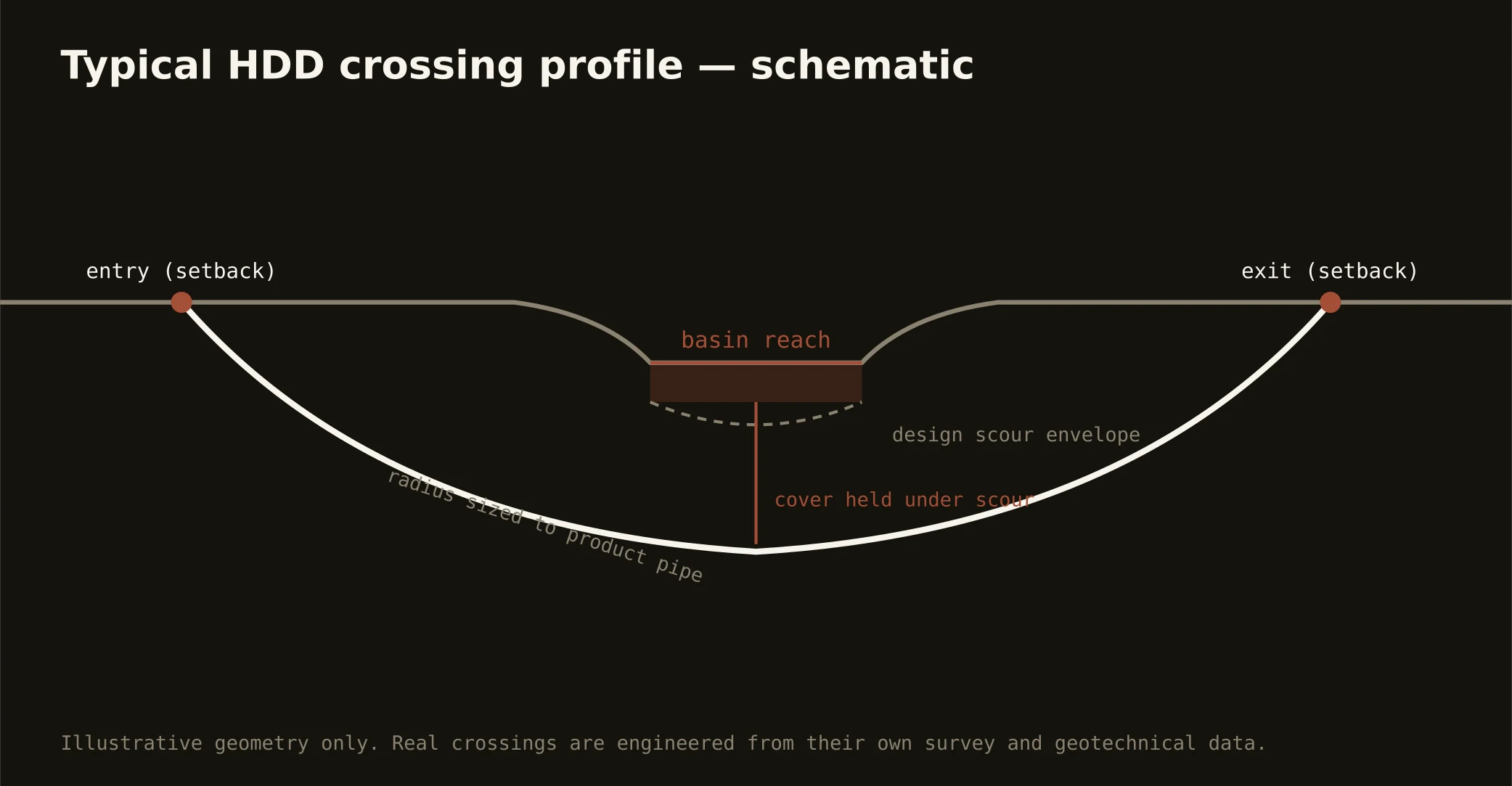
The reservoir is the region's water future in plain sight: Jordan's federal pool anchors the metro's south, supplying communities across the Triangle, wrapped in the Corps' shoreline machinery and the watershed law that made its name a byword for nutrient rules — and crossing its world is the signature western-Triangle bore. Lake-arm crossings run the full stack: the Corps' project machinery on the shoreline, the state's watershed and buffer law carried as the standing condition it is, profiles set against pool elevations in the drowned valleys of the Haw's and New Hope's old channels, and the supply seriousness of water half the Triangle drinks.
The Eno carries the doctrine's other spirit: the river Durham loves winds through a protected corridor of state park and city preserves — a stream whose defense practically founded the local conservation movement — and its crossings run on state stream machinery, buffer rules, and the corridor's civic reverence, with profiles and staging worked around parkland the city treats as sacred. Between them, the metro's creeks — New Hope's arms, the Flat and Little rivers feeding the northern supply lakes — each carry their watershed's rules named at scope.
Technically these crossings read the basin at its wettest: red-rock approaches with slake-aware fluid, sheet honesty carried under the water where the mapped bodies run, boundary-side reaches trading to saprolite over crystalline rock — and fluid discipline at supply-watershed grade throughout: containment both banks, monitored returns, and the response plan written before the pilot turns.