How Directional Drilling Works in Durham Ground
The basin and its boundary
The metro's defining structure is invisible from the street: a rift basin from the Atlantic's opening lies beneath the urban core — red mudstones and siltstones that drill fast, slake on exposure, and cut to a fluid-testing slick — punctuated by diabase sheets, the dense igneous bodies mapped through the fill and occasionally waiting off-map. At the basin's western line the boundary fault flips the geology in a block: crystalline piedmont, deep saprolite, depth-to-rock questions. Basin-and-boundary quoting names your side, tunes the fluid for the red rock's chemistry, checks the mapped sheets, and terms the unmapped ones — because the rift wrote conditions the surface never mentions.
The research economy's registers
The metro concentrates coordination cultures: the park's lab campuses run research-grade standards with a redevelopment wave rebuilding the core; two hospital systems run mission calendars a few miles apart; the universities build continuously on academic clocks; the brick-and-beam districts carry heritage manners through the tobacco era's walls; and Chatham's south runs construction-program tempo as the mega-development and the auto campus rise. Over everything lies the watershed law — the state's strictest — as the standing environmental condition. The desk prices each register as itself, calendars named before footage.
The sequence, western-Triangle edition
The bones are standard — locates plus private designating, potholes on every claimed utility, pilot on profile, ream to about one and a half times the product, pull, restore. Triangle bends: slake-aware fluid in the red rock, sheet checks and terms on every basin alignment, saprolite programs across the boundary, watershed-law care on every wet edge, campus and hospital calendars honored, heritage-brick manners downtown, and restoration that treats warehouse-district pavers, boom-plat lawns, and Eno-corridor parkland as the different surfaces they are.
Who owns what you're crossing
The cities run their own ROW counters; the state's road system holds the rest, secondary miles included. The Corps governs Jordan's shoreline world; the watershed law rides both great reservoirs' basins; the Eno's protected corridor carries park and civic machinery; OWASA guards the college town's supply; the park's campuses and the hospitals keep their standards; railroads permit the corridor's serve; and the boom county's programs run their construction phasing. The quote names every owner on your alignment — here, the first questions are which side of the fault and whose watershed.
Straight answers
Will you hit rock on my bore?
In the basin, you're in rock the whole way — soft red rock that drills like firm ground until a diabase sheet says otherwise; across the boundary, saprolite runs deep over crystalline rock at verifiable depths. The quote names your side, checks the sheets, and states the terms — which is how the rift stays a footnote.
How deep do bores run under Durham streets?
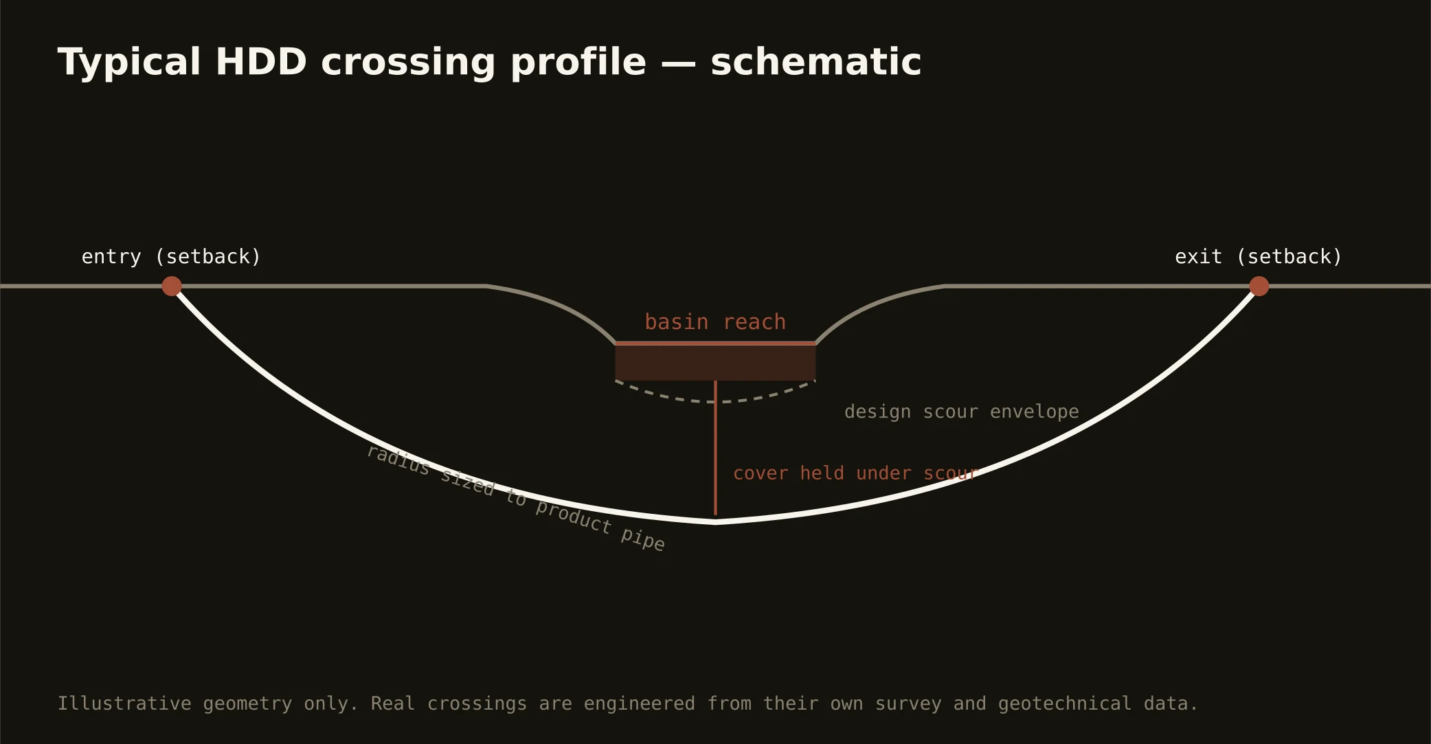
Cover follows the owning authority's standard and sits below everything potholed on the alignment — with lake and Eno crossings running to their stacks absolutely and basin profiles minding the mudstone's slaking zone. The plan states your number and your side of the fault at it.
Do the watershed rules really change how bores run?
They set the floor: Jordan's and Falls' rules blanket the metro with buffer and nutrient law the whole state knows by name, so containment, monitored returns, and disciplined disposal aren't extras here — they're the standing condition every serious contractor builds in. Ours are built in at the quote, where conditions belong.
Ready to put a number on a real crossing? Send the scope — a person prices it.